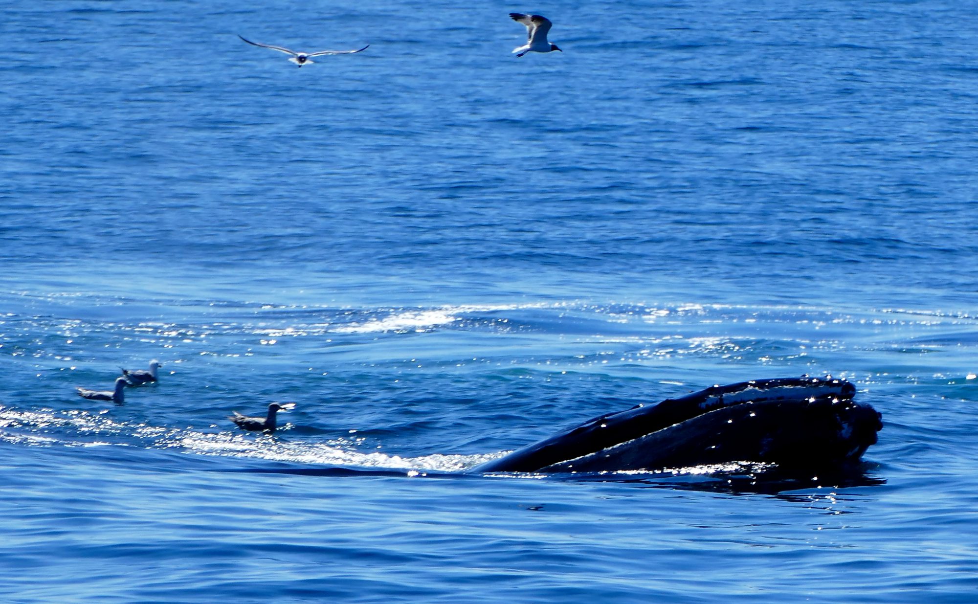
I’m keeping it simple for Saturday. Behold the Least Sandpiper. Has there ever been a less inspiring name? Where is the Most Sandpiper? The Biggest Baddest Sandpiper. I captured this little bird hanging out in Stratford, Connecticut this morning. Identifying it took a bit because there are many species of Sandpipers. Enjoy!
The Appalachian Trail zigs and zags its way from Georgia to Maine (for the north-bounders), or from Maine to Georgia for the rare SOBOs, and a little piece makes it through Connecticut. Cutting a path through the northwest corner of the state, it includes the two high points – literally, the highest points in the state – just south of the Massachusetts border.
If you want to see both, and it is well worth the trip, try this path. Park on Bunker Hill Road in Salisbury, CT. There is a small parking lot just past a large house on the right side of the road. The trail head is in the parking lot. Take the blue blaze route up the hill until you catch the iconic white-blazed AT. From there it is a short walk to the first overlook: Lion’s Head. It is a wonderful place to take a break and survey the landscape below.
The view from Lion’s Head. Late August 2016. (Samsung Galaxy 6S)
This cell-phone snap does not do the view justice. Still, you might get the hint of what you will experience for yourself.
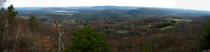
The same spot. Panorama. Mid-November 2014.
After some time enjoying that view, head north to Bear Mountain. It’s a bit more than two miles away, but well worth the effort. I am not going to spoil the moment by sharing too much, but here is another cell phone snap shot.
Bear Mountain. Late August 2016.
As you can see, it was a bit more gray as the day got later. That’s why the real camera stayed home and we have to settle for phone pics. The rain came, and in a big way.
Here is something else you should know. Should you decide to cross into Massachusetts as we did, you will be facing a treacherous descent down the north side of Bear Mountain. It requires careful maneuvering on the way down and some hands-and-feet scramble on the way back up. If you see the below sign, you made it down alive. Now you just have to climb back up and walk the 5+ miles back to your car.
All told, our walk from the car, about 1/2 mile into Massachusetts, and back was about 10.5 miles. Turn around at the Bear Mountain summit and you will be at about 9.
PS: Happy trails to Music Box and Snorlax, a NOBO couple on their way to Maine. Maybe we will see you at Katahdin in October.